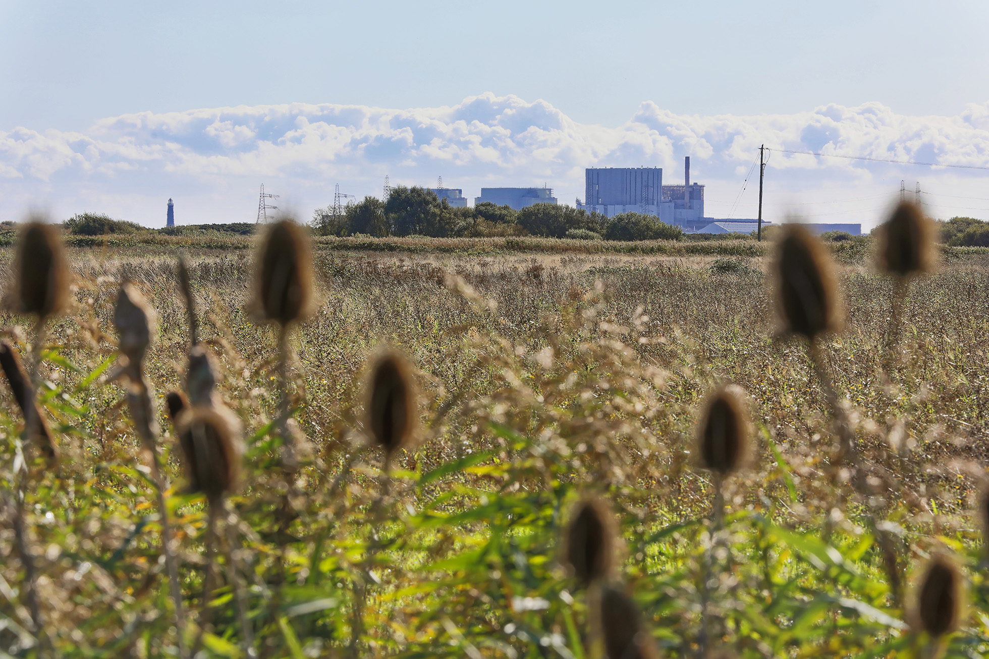
Aerial topographical surveys (From 30 October)
We will be carrying out topographical mapping surveys using a drone to help us understand natural and man-made features of the site.
You might see members of the team on the ground launching the drone from areas around the site, as well as some temporary water-soluble paint markers or plastic survey targets in fields. All drone flights will be conducted by Civil Aviation Authority (CAA) authorised drone operators, who are fully accredited and insured.
The drone flights will take place at around 100m above the ground across the proposed site for South Brooks. The flight areas have been designed to not include areas of private residence. The drone operator may place a small cordon around the take-off and landing point for safety and will maintain a visual line of sight with the drone at all times as required by the CAA. This is not expected to cause any disruption.